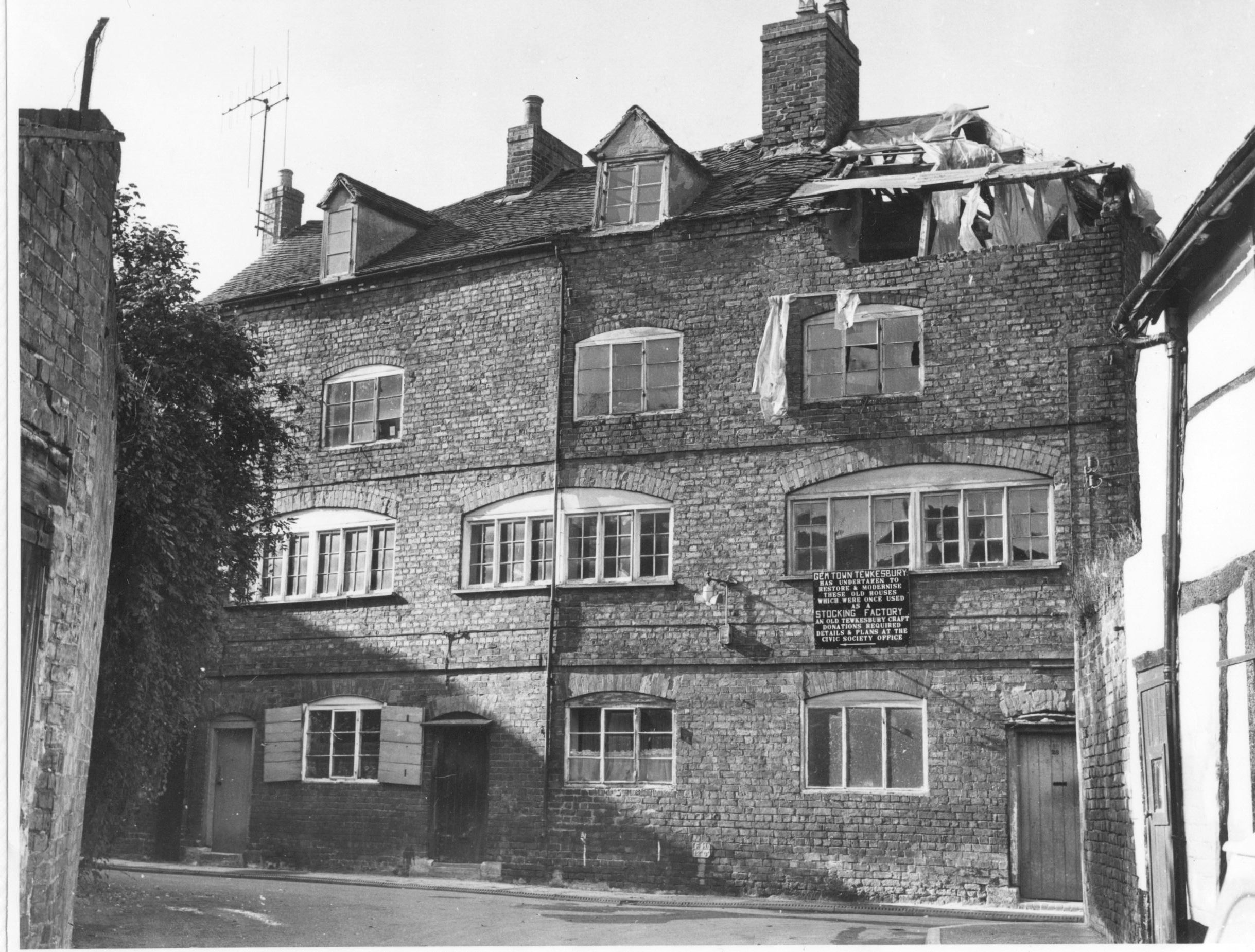
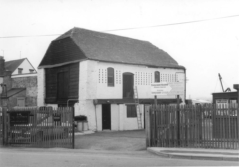
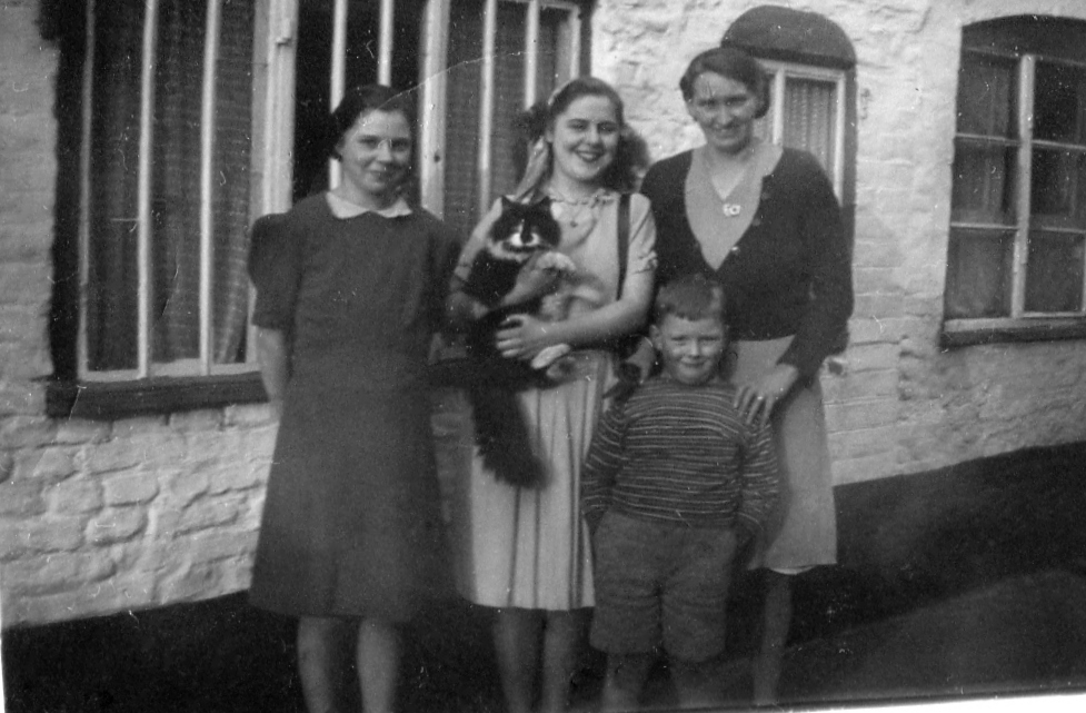
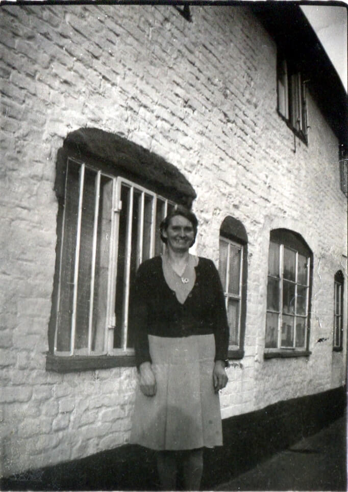
St Mary's Lane

St Marys lane runs round the back of Church Street on the north side. It formed an access link between the backs of properties on Church Street and the buildings adjacent to the river Avon. In medieval times this was the core of old Tewkesbury and was within the bounds of the abbey. In Victorian times it was a mixture of poor residential, light but dirty manufacturing and boat building and maintenance. It has some historical buildings around the entrances to Church Street and the Tanner's arms (see below). St Mary's Lane also includes access to one of the oldest burial grounds.

The numbers on the map show historical house numbers as best as can be reconstructed.
No Caption
Click Image to Expand

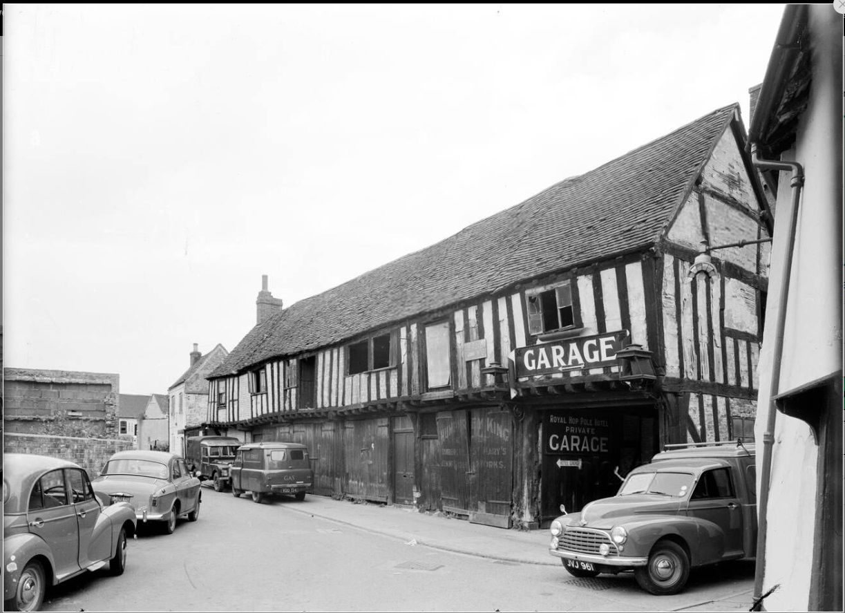
From Historic England website:

St Marys Lane, Tewkesbury, Gloucestershire. A view from the south east showing a row of mediaeval, timber framed buildings on the north side of St Marys Lane. These buildings may have originally been a row of houses, however by the 1880s at least the near end of this building was part of the St Marys Chemical Works where agricultural fertilizer was both imported and made. By 1901 it was in use as an agricultural engineering works for King s, who had a shop at number 9 High Street. Between the late 1920s and the 1960s the building was in use as a motor garage, as seen here. It was demolished in 1965 to provide additional car parking space for both the Royal Hop Pole Hotel and for the general public, uses in which the site continues.

This photograph was taken around 1955
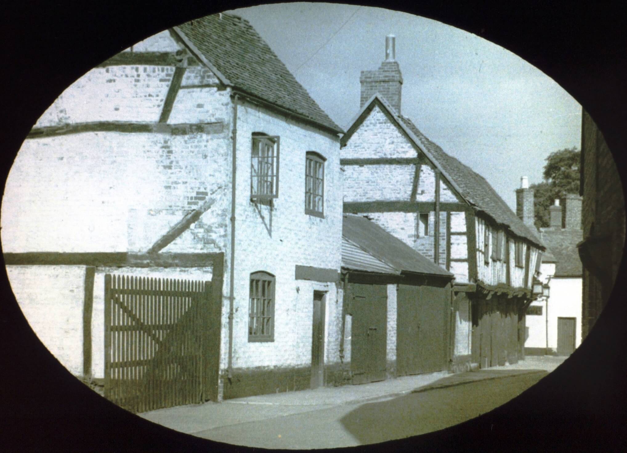
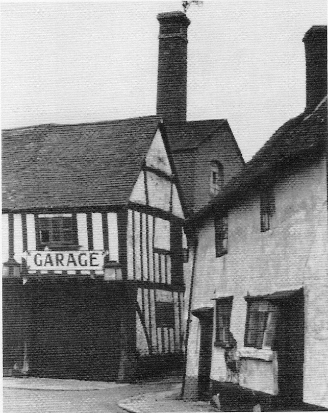
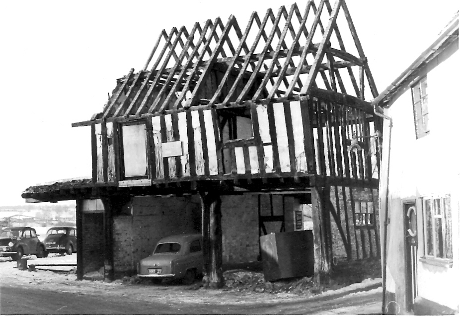
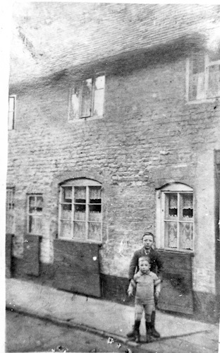
Second view of this row in St Mary's lane during the 1947 flood. Source: David Fromerth
No Caption
Click Image to Expand
Possibly the earliest photograph
No 7 St Marys Lane, Gyngell's Garage and the Works behind c 1950 (Burd Lost Alleys p10)
No 8-9 St Mary's Lane during demolition 1965ish (Peter Finnigan)
No Caption
Click Image to Expand
The view towards St Marys Lane from the Avon.
The remains of the building to the left are the peers that hold up the platform for the cafe there.
Just out of shot to the left is the last remaining Victorian building, the tiny gazebo, now the cafe.
Picture is 2498 x 958 - so worth zooming in.
No Caption
Click Image to Expand
Weaver's cottage just before restoration. This is a wonderfully large image 2438 x 1850 pixels, so you can zoom right in and read the notice
No Caption
Click Image to Expand
The boatyard in St Mary's Lane,  Durrant & Vickeridge, 1976
No Caption
Click Image to Expand
Situated in St Mary's Lane, this was the Tanner's Arms, one of the few pubs not situated on the main streets, c. 1960. Here the tan yards where the leather was treated to provide the numerous boot and shoemakers with their raw materials. The building has hardly changed in the past century. It was once the First Quaker Chapel and the Burial Ground nearby was restored by Girl Guides for the late Queen's Visit in 1971.

10 St Mary's Lane

No Caption
Click Image to Expand
The Coalyard Collages was a row of terraced houses demolished around 1930. This shows the row in 1928 with the two 'tenants' Arthur Healey, at the rear, and his brother Leonard, outside. The site is now a car park.
No Caption
Click Image to Expand
Roberts family outside 10 St. Mary's Lane. (P Finnigan)
No Caption
Click Image to Expand
Elsie Roberts outside 10 St. Mary's Lane. (P Finnigan)
Print Version